


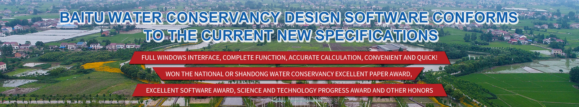
(Summary description)The upgrade content: water surface line calculation can automatically heightening on both sides of the embankment elevation, cross-sectional data can automatically be inverted (upside down on the down
 V12.0 release")
Plan of water conservancy earthwork design software package (section CAD) V12.0 release
(Summary description)The upgrade content: water surface line calculation can automatically heightening on both sides of the embankment elevation, cross-sectional data can automatically be inverted (upside down on the down
The upgrade content: water surface line calculation can automatically heightening on both sides of the embankment elevation, cross-sectional data can automatically be inverted (upside down on the downstream data) data. A new version of the software please new and old customers to plan website corresponding. Link: http://www.slsdsj.com/xiazai/&newsCategoryId=8&comp_stats=comp-FrontNewsCategory_tree01-1276844732928.html in addition to carry out plan software free activities, see http://bbs.abd.cn/forum.php? Mod=viewthread&tid=157628#lastpost.
Scan the QR code to read on your phone
— focus on water technology development —
LINKS

ADD:1-1-201, yanqingyuan, No. 18, Yishou Road, Jinan

E-mail:jufengcyjx@163.com
Webpage Copyright:JINAN BESTTOOL WATER SCIENCE & TECHNOLOGY DEVELOPMENT CO., LTD. ICP Register No.:鲁ICP备09073348号 Powered by www.300.cn JINAN2
